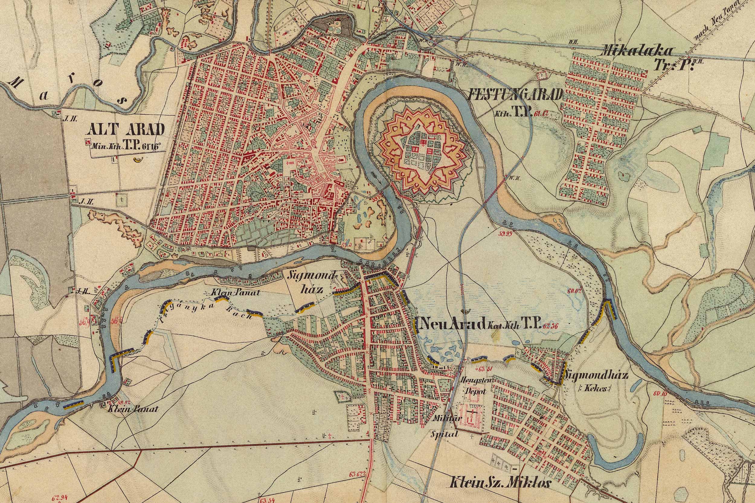
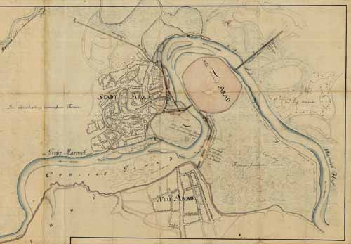
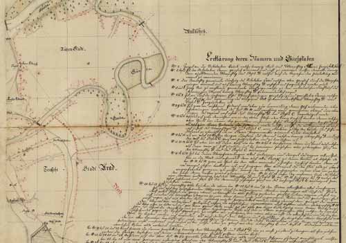
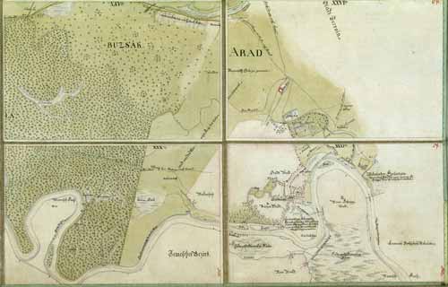
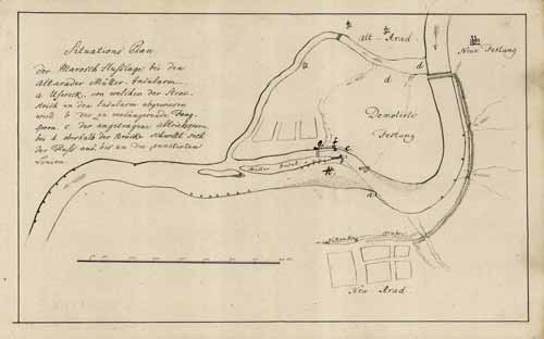
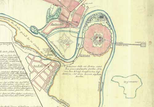
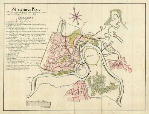
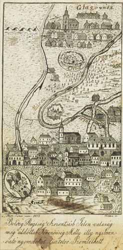
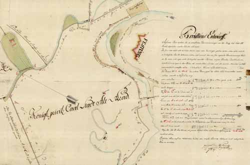
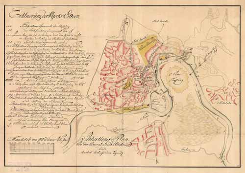
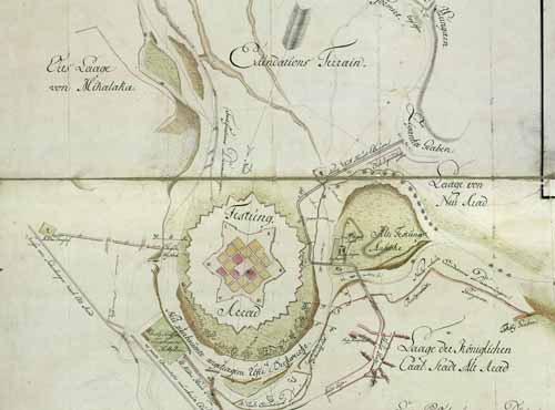
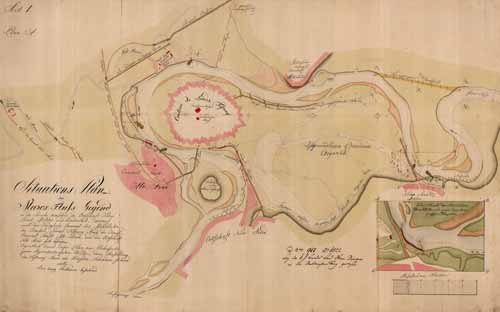
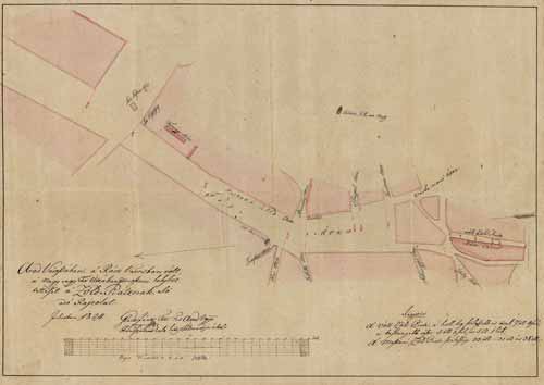
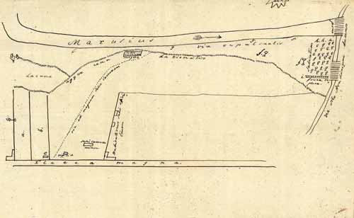
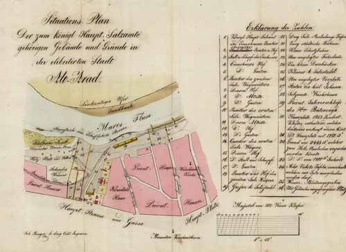
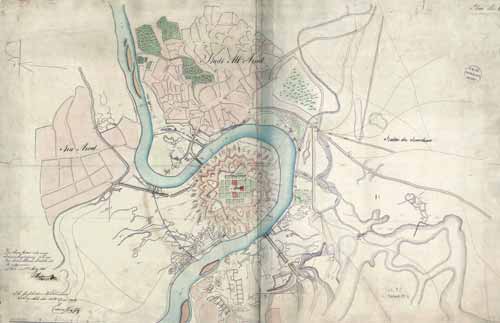
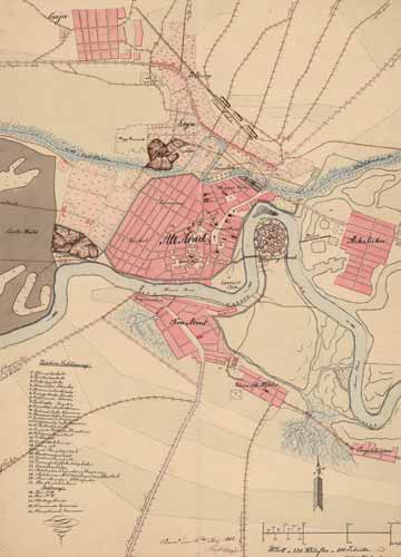
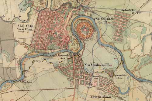
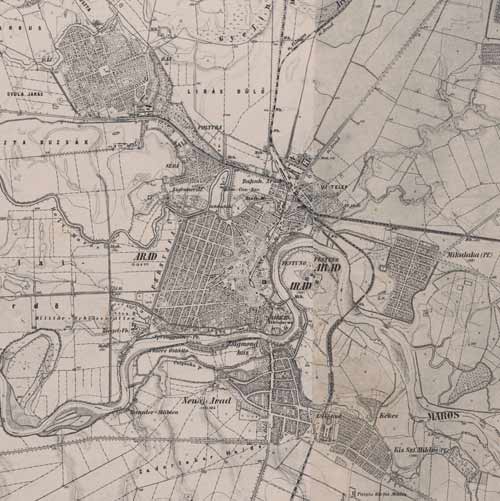
Hungary (1819–1869) - Second military survey of the Habsburg Empire / The Second Military Survey of the Habsburg Empire (Franziszeische Landesaufnahme) was based on the first triangulation net of the Empire, ordered by Emperor Francis I in 1806. Eight horizontal control points were later used as projection centers for the different parts of the Empire.
Österreichisches Staatsarchiv / mapire.eu
IXa 242 / XLII - 62